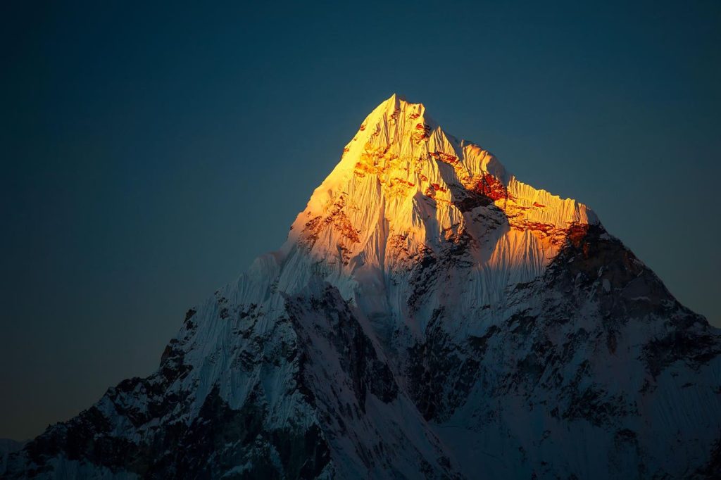
The persistent process of erosion is powerful enough to cause the world’s most intimidating mountain range to rise slowly up out of the mantle, growing in elevation each year. GPS stations and satellite monitoring have measured an acceleration in uplift at Mount Everest and its neighboring peaks, which are growing 2 mm per year. The study published September 30, 2024, in Nature Geoscience estimated that Mount Everest has grown between 50 to 150 feet over the last 89,000 years. They went searching for a geologic process or tectonic event that could explain the accelerating uplift.
The geoscientists found a likely culprit. The Kosi River system captured the Arun River when the two systems abruptly collided approximately 89,000 years ago. The newly combined river catchment etched an incision into the landscape that then formed a substantial gorge. The Arun River runs east in a gently sloping valley until it turns south as it collides with the Kosi River, flowing south at a much steeper grade. This geometry encouraged erosion on the river banks, efficiently deepening the gorge in real time. The rivers carry away billions of tonnes of earth and sediment, one grain at a time, over thousands of years.
The mighty Himalayas dominate the landscape, climate, weather patterns, hydrological catchment systems, and ecosystems on either side of the dramatic mountain range. They provide a 1,400-mile-long barrier averaging 20,000 ft in elevation that shadows the arid Tibetan plateau to the north from the monsoons that seasonally quench the Indian subcontinent while active glaciers grind down the peaks and lock up precipitation for millennia. Nine of the world’s fourteen “8k peaks” are found in the Himalayas, which attract the most extreme climbers in the world. Scientists have long wondered what geologic processes or topographical features have allowed Mount Everest to grow even higher than the surrounding record-setting peaks.
The Himalayas not only reach up into the heavens but plunge deep into the mantle beneath, with a mountain root that reaches some 155 miles below the surface. The mountain range floats like a raft atop the denser liquid rock of the Earth’s interior, called the mantle or the asthenosphere. Less dense, buoyant crustal rock floats in the mantle like an iceberg floats in water. In geology, this crust-mantle balance is called isostasy. The isostatic rebound describes the uplift that is associated with this redistribution of landmass through erosional processes, the lightening of the crustal load. Thanks to Archimedes’ Principle, scientists have estimated that a mountain’s root is, on average, about 5.6 times as deep as they are tall, based on basic assumptions of the density differences between continental crust and the molten rock substrate that comprises the mantle.
The erosional activity of the Kosi River system and the added capture of the Arun River carried sediment away from the mountains into the surrounding regions, lessening the absolute mass of the mountains in a meaningful way. This study finds that the Himalayas were becoming lighter faster around 89,000 years ago, gaining 2 mm in elevation per year. They began to float up, riding higher in the mantle than where they previously had reached neutral buoyancy. As buoyancy battles erosion of the massive peaks by wind, weather, and precipitation in the Himalayas, the mountains still experienced a net gain in elevation, partly due to the isostatic rebound suggested by this study.
What other processes cause isostatic crustal rebound?
Interestingly, another instigator of isostatic rebound is deglaciation, when glaciers or ice sheets melt. Much of present-day North America— the East Coast and the Great Lakes region- is still rebounding from the intense ice over-burden of the last Ice Age. Much of the Midwest was covered by glaciers that were 2,000 to 10,000 feet thick, which is an extremely heavy load borne by the flexible crust. When the ice retreated to the north, removing the weight of the ice, the land was unburdened and began flexing and rising.
Crustal rebound from erosion or deglaciation can have a meaningful impact on the landscape and geology in the region. Relative sea level may drop as the land rises out of the sea. Regionally, however, the sea level may rise as the crust is not buoyed up outboard of the crustal loading. The land maintains its elevation while the glacial melt water contributes to the volume of the sea, and the mean sea level actually incrementally rises.
Additionally, rivers may change course, altering drainage systems, and faults can be initiated or reactivated, inciting increased seismic activity and earthquakes where the unburdening is occurring. These phenomena highlight the impact of large-scale geological processes on the surface topography experienced by humans.
Read the full article here


